Saturday, October 24th 2020 Reporter: Rudi Hermawan Translator: Maria Inggita 1713
(Foto: Rudi Hermawan)
West Jakarta Government mapped 7 locations that will be prioritized for flood mitigation program.
Apart from these seven priority locations, we also map and handle other areas that are prone to flood
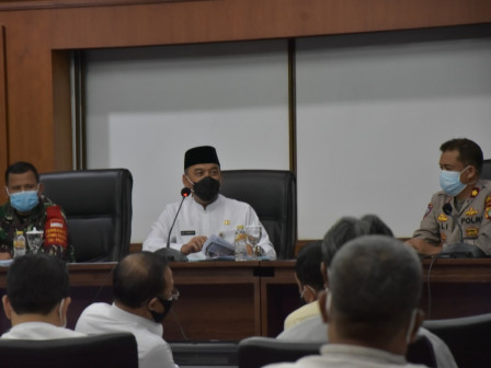
West Jakarta Mayor, Uus Kuswanto mentioned, flood preventing measures are being carried out in seven locations, such as repairing and building sluice gates, dredging connecting channels and reservoirs, and normalizing channels.
Including, constructing stilling basins and retention basins, crossing channels, manholes, infiltration wells in parks, providing mobile pumps and others.
"Apart from these seven priority locations, we also map and handle other areas that are prone to flood," he conveyed in flood mitigation meeting at West Jakarta municipality level, Friday (10/23).
Those prioritized areas are Green Garden, Kedoya Utara, Kebun Jeruk Sub-district; Jalan Pangean Tubagus (PTB) Angke, Wijaya Kusuma, RW 01 Semanan; Kalideres, RW 01 Tegal Alur Urban Village; Jalan S. Parman in area of Jalan Dharma Wanita RW 01; and Jalan Latumeten-Jalan Satria I and IV, Jalan Jelambar Baru.
"We hope it can minimize inundation and flood in the region," he said.